In the field of agriculture, monitoring the territory with a drone is a useful method for starting precision farming, land monitoring and soil assessment projects.
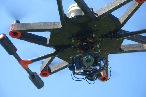
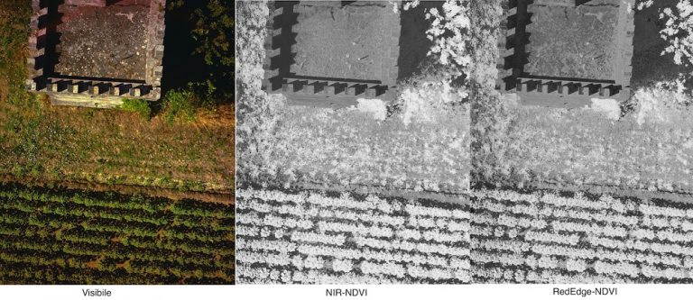
Multispectral shooting from drones allows to observe the territory from remote systems (Remote Sensing) and obtain important information on the quality of the territory.
CAMGIC systems are composed of:


Thanks to the combination of these tools we obtain:
The material obtained will be useful for the spectral analysis of the soil, the classification and calculation of derived indicators. With the integration of other sensors on board, it will be possible to improve results and achieve new goals.
They can be integrated on board:
The advantages of CAMGIC systems are: